News

Report of Use and land cover in the Venezuelan Amazon 2000-2020, What are the main drivers of change?
Jul 6, 2021, 4:00 AM

This report presents the new annual series of use and land cover maps of the Venezuelan Amazon for the period 2000-2020, summarizing the trends of the changes that have taken place in the region in recent years and identifying the main drivers of these changes.

This information comes from the effort to improve the precision of the data corresponding to Venezuela for the Collection 2 of MapBiomas Amazonia (1985-2018), adapting them to a more detailed legend and correcting some mapping inaccuracies, in addition to the incorporation of the years 2019 and 2020 in the time series.

Additionally, we had the support of a group of six experts with extensive experience in the region, as well as in the generation of supplementary information by our team.

You can check the report (in Spanish) in our website.
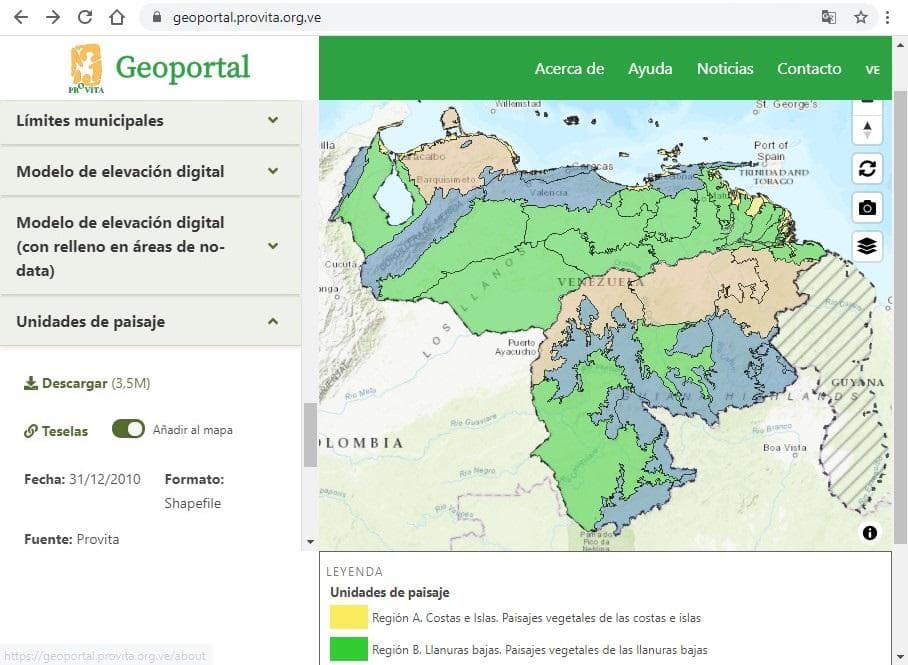
Provita releases Beta version of its Geoportal
May 14, 2021, 4:00 AM

We are pleased to announce the release of the Beta version of the Provita Geoportal. The Geoportal allows users and the general public to access geospatial information from all over Venezuela related to our projects and areas of action.

Through the Provita Geoportal users can download geospatial data sets related to a variety of topics of interest for environmental conservation. Users are free to choose and download the available information as well as visualize it using various basemaps from the gallery.

We hope that the information published here will be useful for users. Do not hesitate to contact us with any suggestions, comments or contributions you may have.